Monday 11 August 2014

Arches & The End!

This was supposed to be our last National Park before heading to Denver but before we reach Arches there is the Wilson Arch along the side of Highway 191.


Entering the park itself the rock formations are impressive, this is called Park Avenue.


Balanced Rock appears to defy gravity!


Most of the Arches are along trails several miles long & with the heat in the 90's wearing motorcycle gear it's imposible to see them all in one day, these petroglyphs from around 1500ad are on the way to Delicate Arch.


The trail to Delicate Arch is around 3 miles but it has to be done & it's worth it, this free-standing arch is unique.


This is just to prove I made it, it may however have been at too great a cost.


Sand Dune Arch & Broken Arch are pretty close together & although easily reached the walking on sand is hard work.


At Devils Garden trailhead there are eight arches but the walk is too long, I start walking but the body says no!
From the short distance I did manage you could see Pine Tree Arch & Navajo Arch.


In the distance you can also see Skyline Arch, if anyone else comes here you probably need at least 2 days & a good pair of walking shoes.


After leaving the park we take the Scenic Byway 128 that follows the Colorado River to Cisco, unfortunately due to my tiredness & possible dehydration I take a bend badly & try to run off in the gravel, it doesn't work & I end up in a heap with a fractured right collar bone & several ribs.


The bike isn't badly damaged but my injury needs several weeks to recover or it's time to return home, after some discussions we chose to end the trip!!


Friday 8 August 2014

Rock Fest

For the next 3 days it's a bit of a 'Rock Fest' as we will be visiting a number of National Parks in Southern Utah, the geology in this area is fantastic!


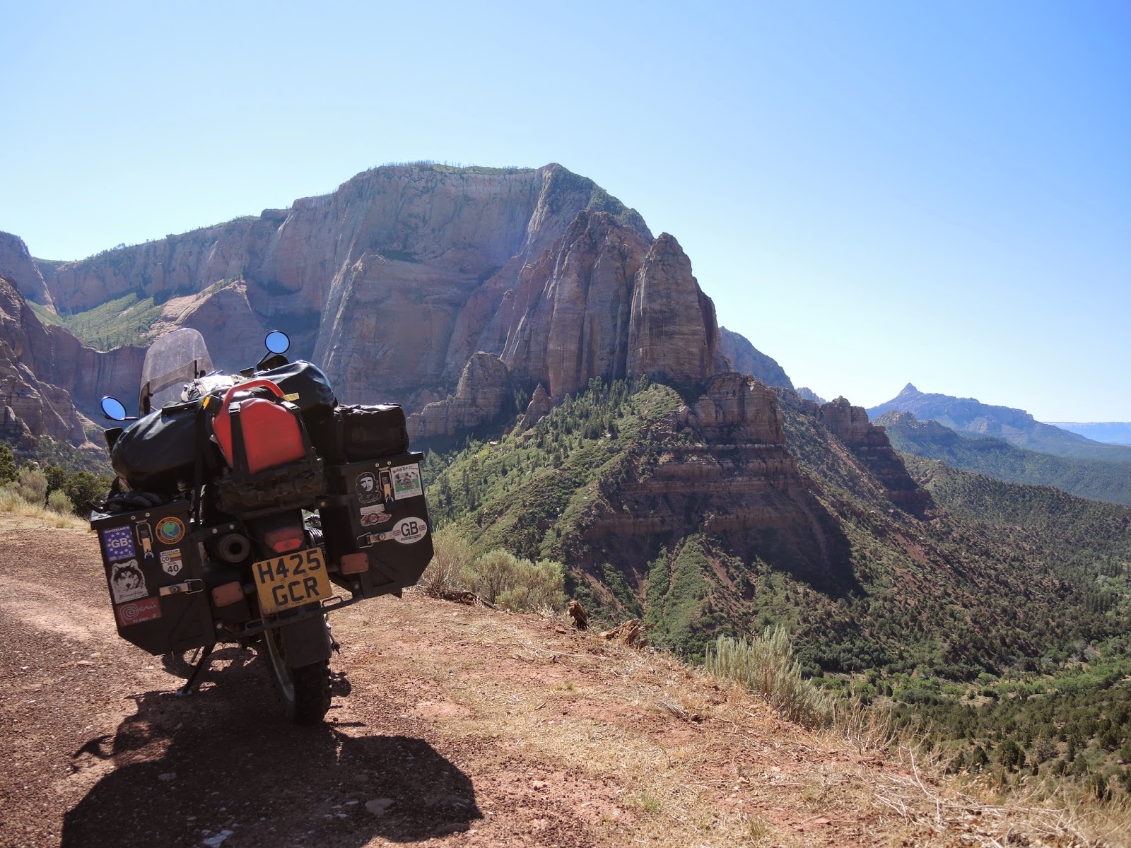
First it's a short ride from Cedar City to Kolob Canyons which is part of Zion NP.


Entering Zion itself it's getting busy & we have to take the shuttle along the Canyon Scenic Drive, it's also getting hot as the entrance area is only around 1000m above sea level. 


The Canyon sides are very steep & it's popular for climbing outside of the summer months.


Our Shuttle driver was 'Bob', not a bad job for a retired  person but we prefer to ride the bikes.


The Zion Mount Carmel Highway is the second part of the park & this we can navigate ourselves, much better & we are gaining some elevation which will help with the heat.


The rock formations & colours are great with the white calcium carbonate areas being formed from sea shells.


There is a couple of tunnels on this road as well as some rock narrows which always make good pictures of bikes!


Close to the exit is 'Checkerboard Messa', what caused the horizontal & vertical lines I'm not sure.


Trying to visit these parks & travel around 200 miles is not easy & most days we are very weary when we get to our accommodation, the Galaxy Motel in Hatch has themed Harley Davidson rooms that sure make a change from the normal Motel décor.


Red Canyon is a very short drive from our stop & the early morning light makes the best of the red rocks, the Sunlight sure makes a difference to the pictures.


This canyon is only along the normal Scenic Highway 12 but takes us to the entrance of Bryce Canyon our main destination of the day.


Bryce Point is the first stop & the rock formations are fantastic with many of the classic Hoodoos.


We take a walk down one of the many trails but only as far as this arch, you can go right down to the bottom but the motorcycle gear is less than ideal..


Next it's Paria View with a different set of formations, the variety here is outstanding & if you think rocks are boring this place is sure to change your mind.


At 'Natural Bridge' the name says it all.  


Agua Canyon looks fantastic in the sunlight, the weather on this trip has been kind to us, sunrise or sunset would be a better light but it's not bad.


The road through the park is an 18 mile dead end & you turn around at 'Rainbow Point', the views are good from start to finish.


Leaving the park we see one last sign to 'Fairyland Point' we have to take a look.


Just to prove we were here, this is another 'must see' if you are out this way.


Leaving the park we remain on Scenic Highway 12, the colours may change but the scenery remains dramatic & is part of the Grand Staircase - Escalante National Monument.


The section of the road to Bolder is a fantastic ride & known as 'The Million Dollar Road (not to be confused with the Million Dollar Highway), built in the 1930's it brought road access to a number of small communities in the area. 


It's good to find that many roads in the US have great curves as well as the many straight ones we try to avoid.

We find a great Motel in Torrey and have a fantastic steak across the road in the The Saddlery Cowboy Bar & Steakhouse, it also has a good local draft beer Cutthroat from Unita Brewing. 
Over the last few days we have had a number of 'dry' days due to Utah's licensing laws, but we will survive!


From Torrey we enter 'Capitol Reef' another national park, here you can see some Petroglyph's from around 700AD, the Fremont River gives life to this valley.


Along the highway 24 & 95 we are into a desert landscape, the locals still find ways of getting their political views over on this abandoned ready-mix vehicle.


The Road Passes through the Henry Mountains & the roads are very quiet, it seems like most people visit Zion & Bryce & then turn around, I guess Grey rocks are not as pleasing to the eye as Red.


Our fist vie of the Colorado River at Glen Canyon, we had hoped to take the Ferry across Lake Powell from Bullfrog to Hall Crossing but it's closed due to the low water level.


The bridge over the Colorado.


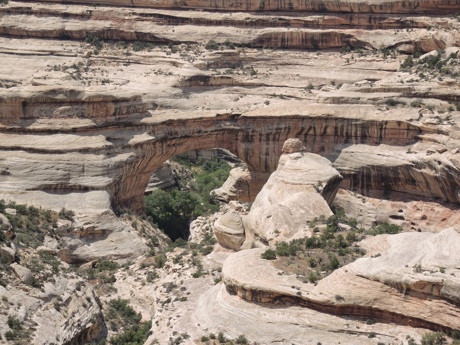
One last National Park today, this is 'Natural Bridges' with a view of  Sipapu Bridge one of the three main ones here.


At Owachomo Bridge I take the trail down to the bridge itself, it is quite spectacular close up with a span of 180 feet.


In the car park we have a great view of a Western Scrub Jay, well that's what I think it is, very pretty!


Just prior to our destination of Blanding we see a sign for 'Butler Wash Indian Ruins' we can always fit in one more visit.
Once we had checked into our Motel we tried to get a beer, Blanding is a dry town but luckily I have 3 bottles with me which helped to make the task of doing the blog more enjoyable, by the way, more rocks tomorrow!!

Tuesday 5 August 2014

Back To Utah

Wyoming like Montana is Farm Country with cereal and cattle ranches in evidence everywhere, a lot of hay & silage is required for feed.


Logging also exists but on a much smaller scale than we have seen in more northern states, these old beehive sawdust burners are however a fairly common site, I'm not sure if they are still used?


Our route takes across the second half of Medicine Bow National Forest  & we cross the Continental Divide again at Battle Pass, we have done this many times already but we decided to take a picture this time.
This geographical feature runs from Alaska to the tip of South America & determines which way all rivers flow either to the Atlantic on one side or the Pacific on the other, there is also a 3,100 mile scenic trail from Canada to Mexico which would make another great off-road bike trip!


The last part of our ride takes us along I80 to Rock Springs with a short rain shower, it's a shorter distance today & we arrive around 4pm so decide to give the bikes a service.
After a quick trip to Walmart & AutoZone we complete the service on both bikes with all fluids changed by around 8.30, unfortunately the restaurants are closed so after a beer in a bar we make do with a Taco take-away.
After consulting the Butler maps the next 2 days take us back into Utah aiming for Zion National Park & then heading back to Denver, we don't expect much but we are very surprised, great vistas.


Fantastic winding roads.


Scenic forests & lakes.


One road is named the Energy Loop which passes a number of Coal Mines & Oil wells, I'm not sure you would be able to have these industrial facilities in such beautiful landscapes in England?


We have been above 2000m most of the day & reach our motel in Castle Dale around 6pm, we have managed to dodge the rain showers all day & it's all down to great route planning!
Cedar City is the destination today which we hope to reach in time to allow us to get some washing done & the blog updated.
The route around Fish Lake follows the 'Old Spanish Trail' which now has a bike added to the commemorative monument.


The lake itself is peaceful & the route is deserted for most of the way, Americans are very lucky with their recreational facilities.


We pass through some attractive rock formations like these in Kingston Canyon.


Utah farmers work long hours but it's not always good for your health!


Wow!, the last part of the journey takes us along the rim of Cedar Breaks National Monument with this view at Chessman Ridge.


And this at Sunset View!!


These three days were expected to be uninteresting & just a way of getting to Zion & Bryce, thanks to the Butler Maps however they have been three of the best riding days of the trip, great quiet roads with Cedar Breaks as the finale, lets hope the next few days continue in the same vein.